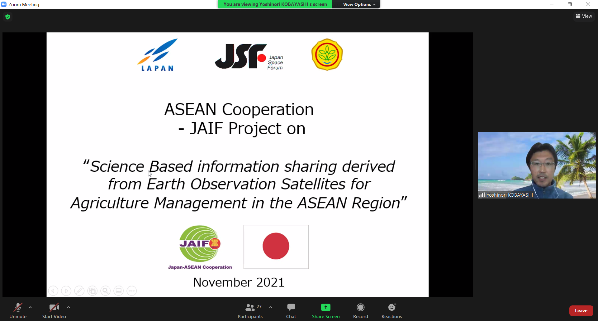
The Japan Space Forum (JSF) had conducted the 2nd Training Program under the ASEAN-Japan Project (JAIF Project): Science Based Information Sharing Derived from Earth Observation Satellites for Agriculture Management in the ASEAN Region on 24 November 2021 as an online training. The project is an initiative implementation under the purview of the Sub-Committee on Space Technology and Applications (SCOSA) of ASEAN Committee on Science, Technology and Innovation (COSTI) with the support from JAIF.
Prior to the online training on 24 November 2021, JSF also held the prior online self-study and report writing from 15 November to 19 November 2021 in collaboration with Sakura Science Exchange Program in practical operation.
There were total 8 trainees from 8 ASEAN member countries namely Cambodia, Indonesia, Lao PDR, Malaysia, Myanmar, Philippines, Thailand, and Vietnam along with 20 observers. Also, there were 9 participants from Sakura Science Project 2020 as the actual Japan-visit session of 2021 was canceled due to COVID-19 situation.
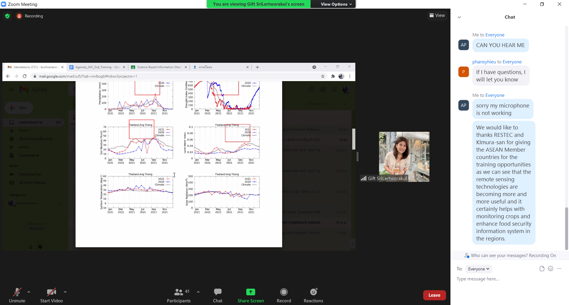
The main objectives of this training program are to 1) understand the background of the project and its connection to Group on Earth Observations Global Agricultural Monitoring Initiative (GEOGLAM) 2) learn the basic knowledge of satellite-based remote sensing for agromet; 3) learn the usage of Japan Aerospace Exploration Agency (JAXA) web system for agromet information (JASMIN) and 4) understand how to interpret satellite based agromet information to rice growing outlook.
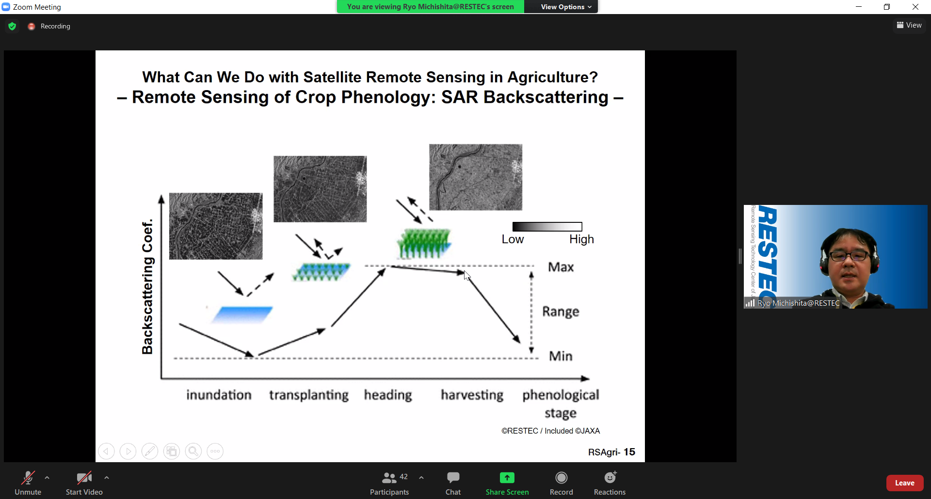
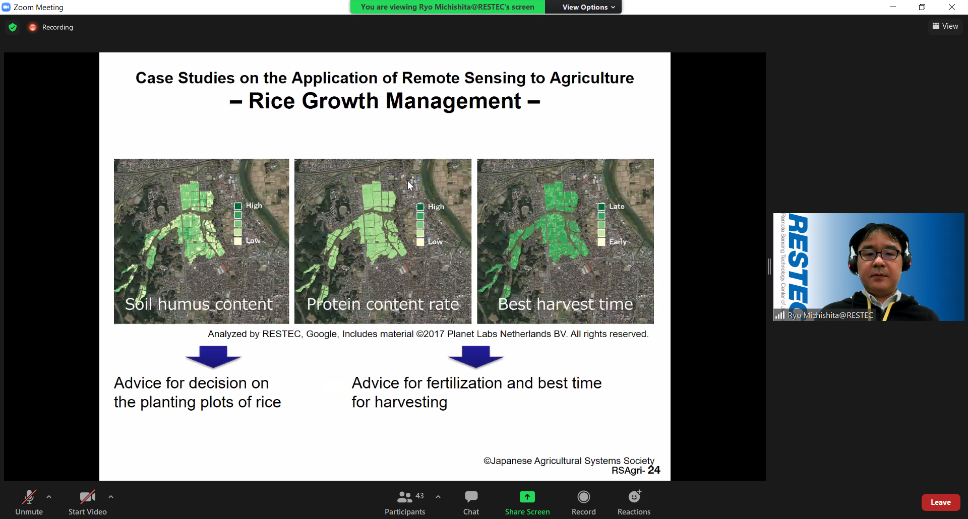
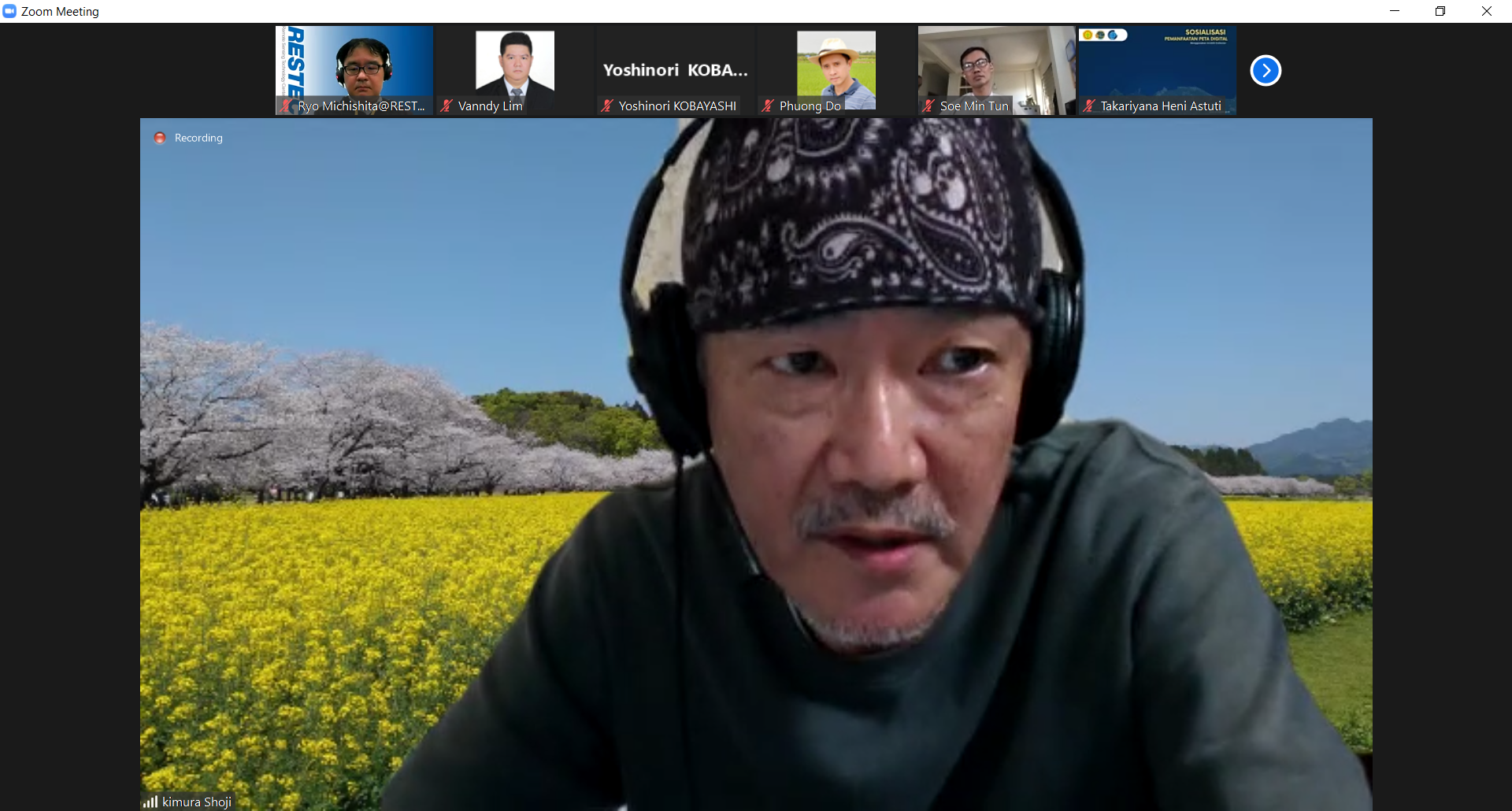
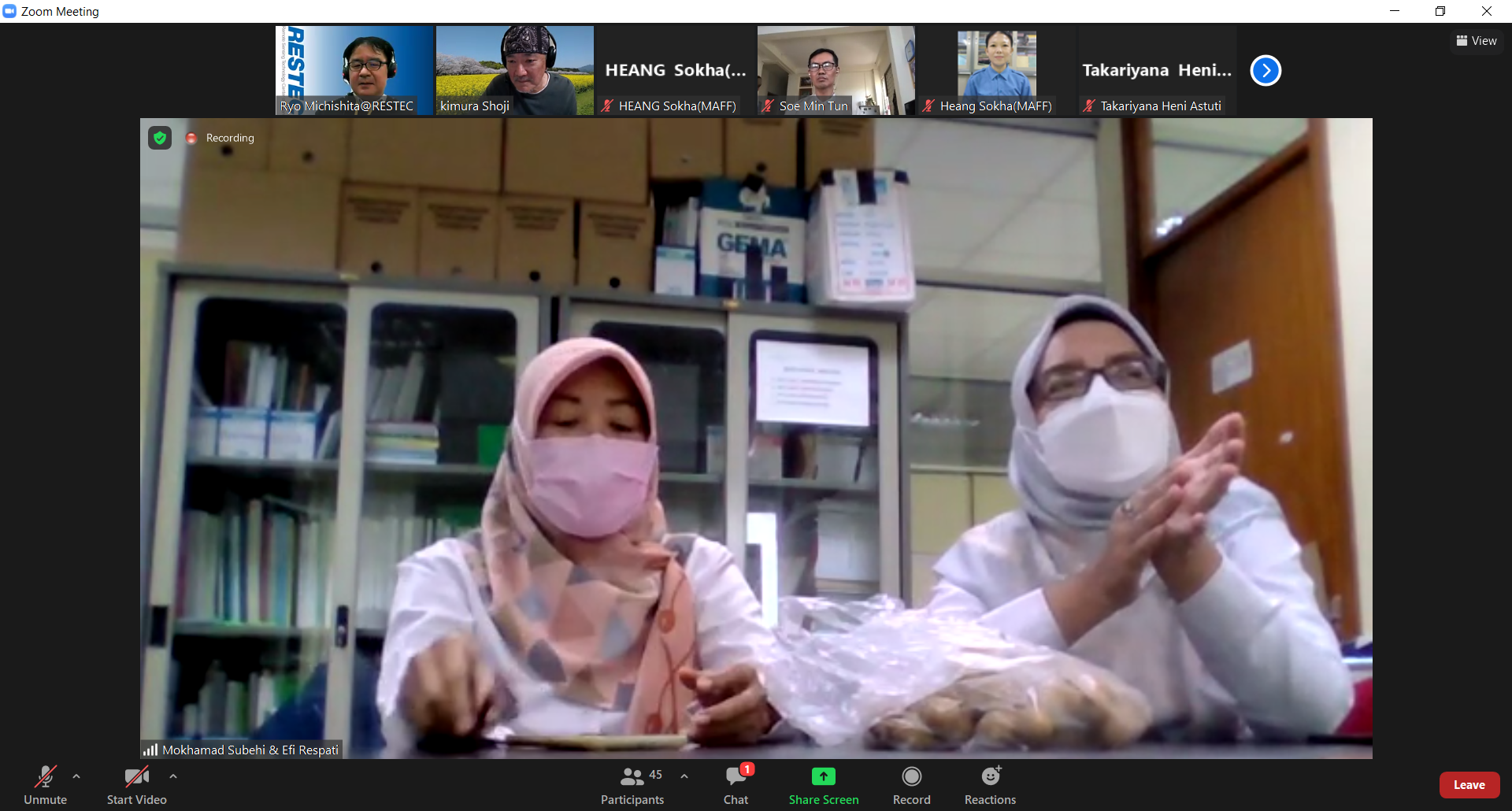
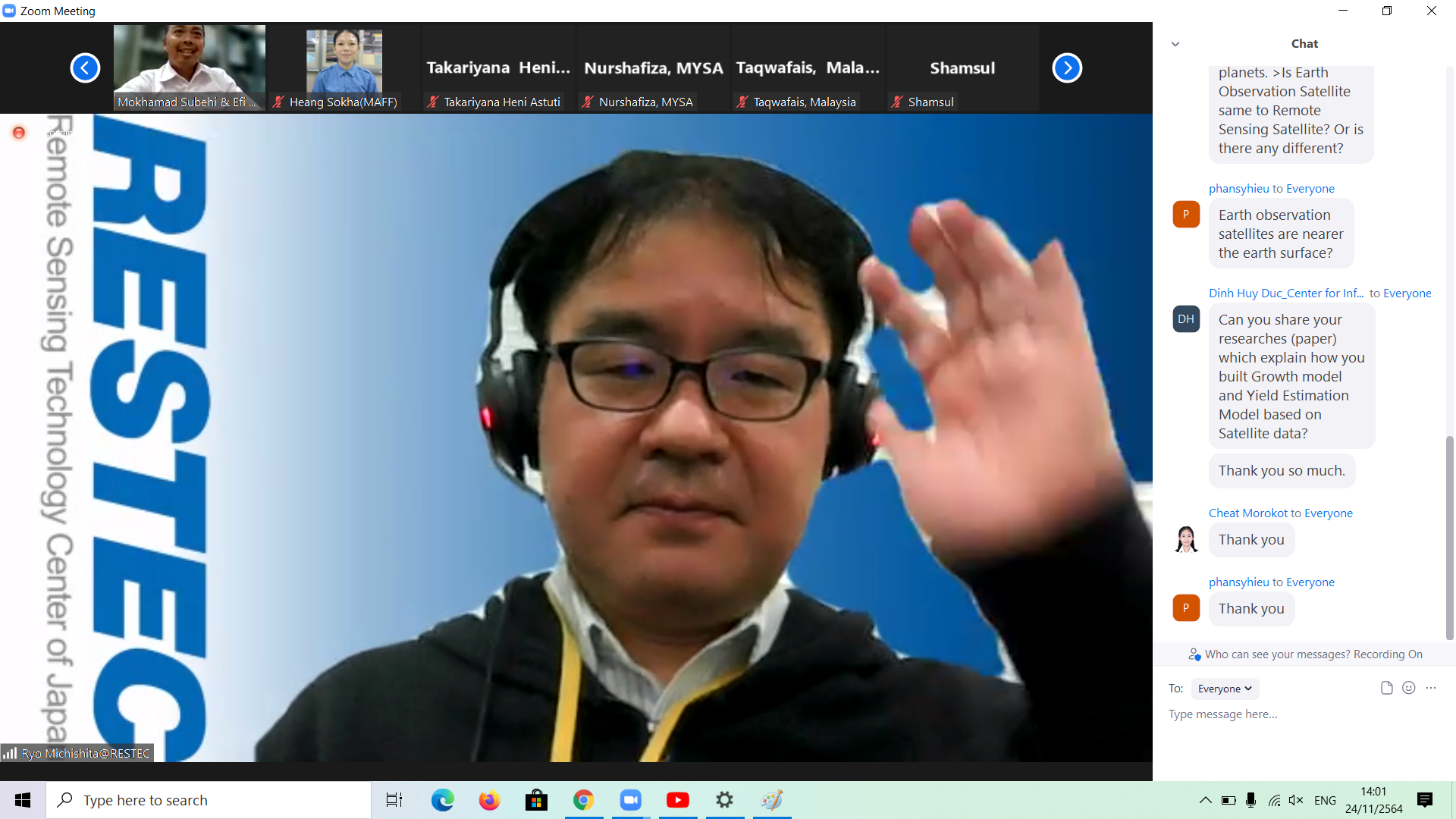
During the training, there was a notable lecture from Dr. Ryo Michishita, RESTEC, regarding the Remote Sensing of Agriculture. Also, the useful feedbacks and comments on Crop Growing Assessment Report Writing from Mr. Shoji Kimura, AFSIS Technical Advisor, were given to the trainees. Moreover, an active discussion forum were opened for the participants to share their questions or opinions.
The training was successfully conducted as the participants were effectively imparted with the knowledge of a report writing and the satellite-based remote sensing for agromet system which can be applied to their work respectively.
Photo from RESTEC

Photo from RESTEC

The AFSIS Secretariat participated in the 10th International Conference on Agricultural Statistics (ICAS X), held from 8 to 10 July 2026 at the ICE Krakow Congress Centre in Krakow, Poland. Jointly organized by Statistics Poland, Eurostat, the United States Department of Agriculture (USDA), the World Bank Group, and the Food and Agriculture Organization of the United Nations (FAO).
.JPG)
On 24–25 June 2026, AFSIS Secretariat participated in the 46th Meeting of the ASEAN Food Security Reserve Board (AFSRB) via a virtual conference. The Meeting was jointly organized by the AFSRB Secretariat and the Department of Agriculture (DOA), Ministry of Agriculture, Livestock and Irrigation (MOALI) of the Republic of the Union of Myanmar, and was hosted in Nay Pyi Taw, Myanmar.

On 17–18 June 2026, the 24th AFSIS Focal Point Meeting was successfully convened via video conference, hosted by the Philippine Statistics Authority (PSA) in collaboration with the ASEAN Food Security Information System (AFSIS) Secretariat.
.jpg)
The ASEAN Food Security Information System (AFSIS) Secretariat, in collaboration with the Ministry of Agriculture, Forestry and Fisheries (MAFF) Japan, Japan Aerospace Exploration Agency (JAXA), Remote Sensing Technology Center of Japan (RESTEC), and Geo-Informatics and Space Technology Development Agency (GISTDA), conducted the 2nd Hands-on Training Courses for Agricultural Statisticians, the Final Workshop, and the 2nd Seminar for Executive Officials under the JAIF Project entitled “Improvement of Rice Paddy Area Statistics and Damage Assessment using Earth Observation Satellites for ASEAN” in Sriracha, Chonburi Province, and Bangkok, Thailand.

