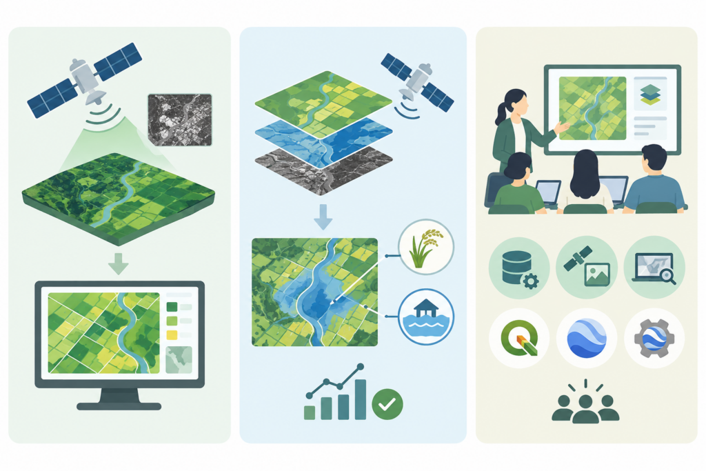
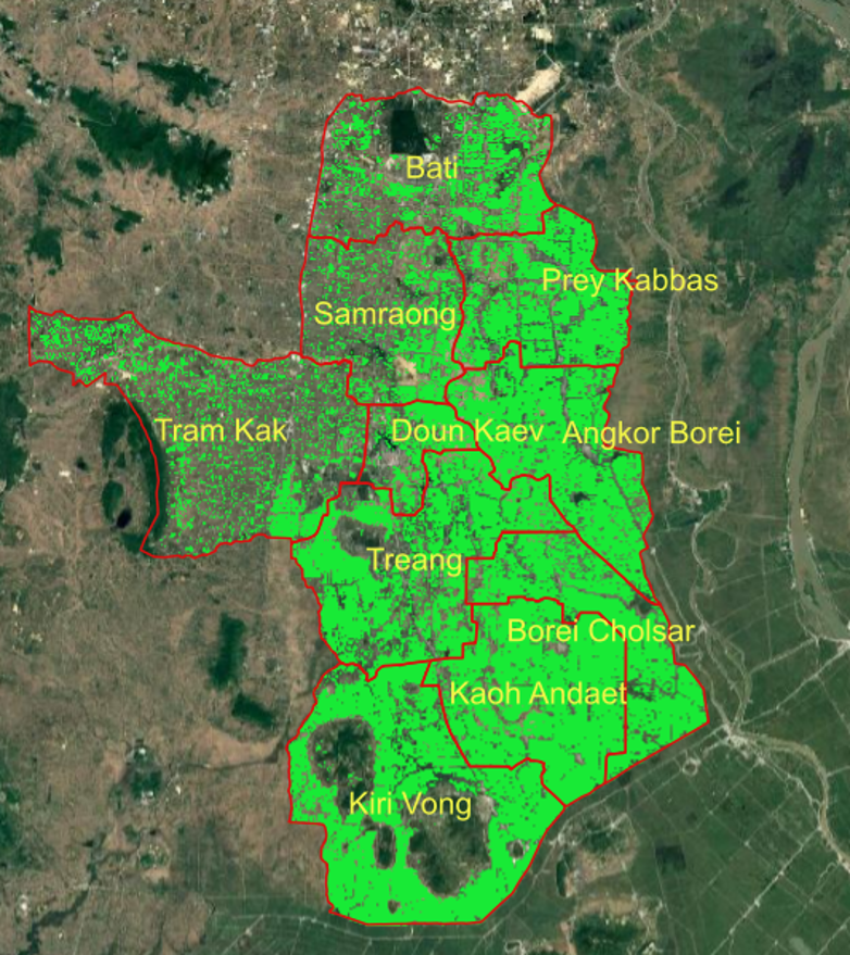
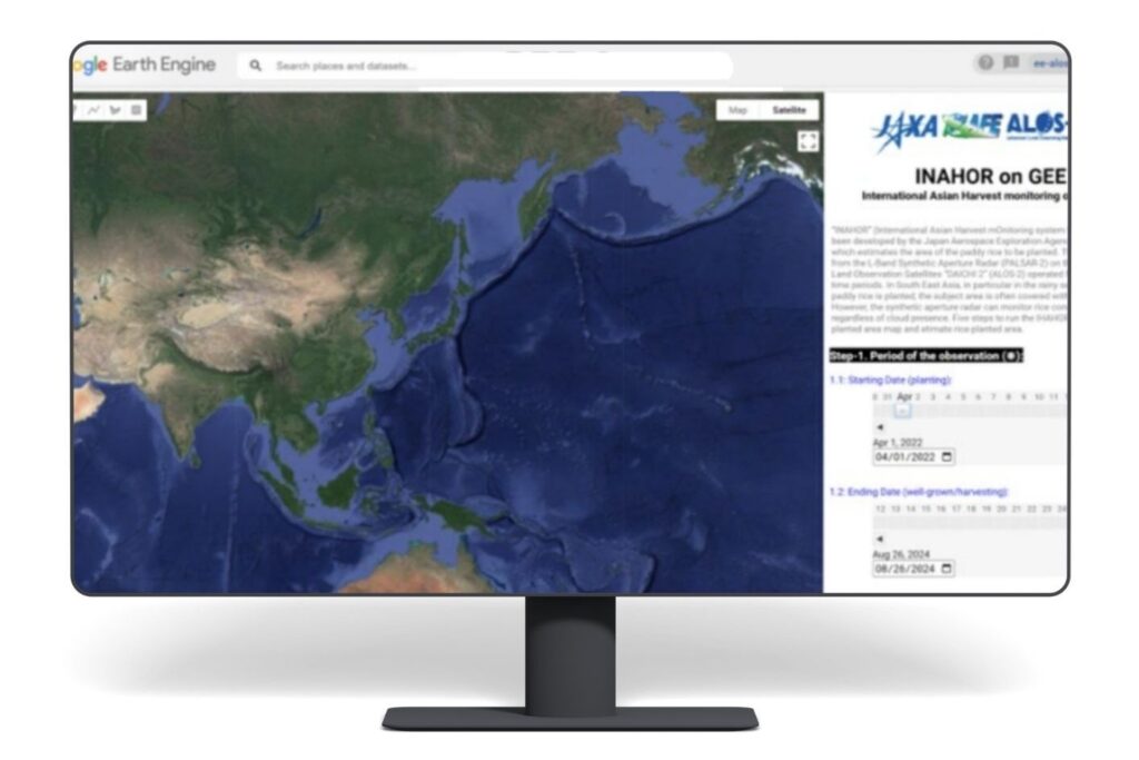
| Background of INAHOR Activity for Rice Cultivation Area Data INAHOR (International Asian Harvest mOnitoring system for Rice) is a rice crop monitoring tool that uses satellite-based information and geospatial analysis to assess rice production conditions. It was developed by the Japan Aerospace Exploration Agency (JAXA) and the Remote Sensing Technology Center of Japan (RESTEC). To promote the use of revINAHOR in Southeast Asia, the Space Applications for Environment (SAFE) initiative began technology transfer activities, including training workshops, in 2014. The ASEAN Food Security Information System (AFSIS) Secretariat has collaborated with JAXA on initiatives to promote the application of INAHOR across the ASEAN region since 2022. |
 |
|
Overview of INAHOR Implementation at AFSIS The AFSIS Secretariat, in collaboration with JAXA under the SAFE initiative, has continued its work on INAHOR following the implementation of the Project for Strengthening ASEAN Food Security Information System Function for Emergency (SAFER) (2022–2025). This collaboration aims to enhance the capacity of AFSIS to operate the INAHOR tool for estimating rice planting conditions and supporting food security information across ASEAN Member States (AMS). It also seeks to integrate geospatial information with agricultural statistics to improve the availability of timely and actionable information for regional food security monitoring. In 2026, the ASEAN Food Security Information System - Geospatial Informalization Support (AFSIS-GIS) Project was launched to further expand the value and practical application of INAHOR, moving beyond training and technical demonstrations toward a pilot implementation stage. This transition aims to explore the tool’s operational use and its potential to support more effective and timely food security monitoring across the ASEAN region. |
|