.png)
Report and Disseminate the Information Regarding
the Serious Disaster
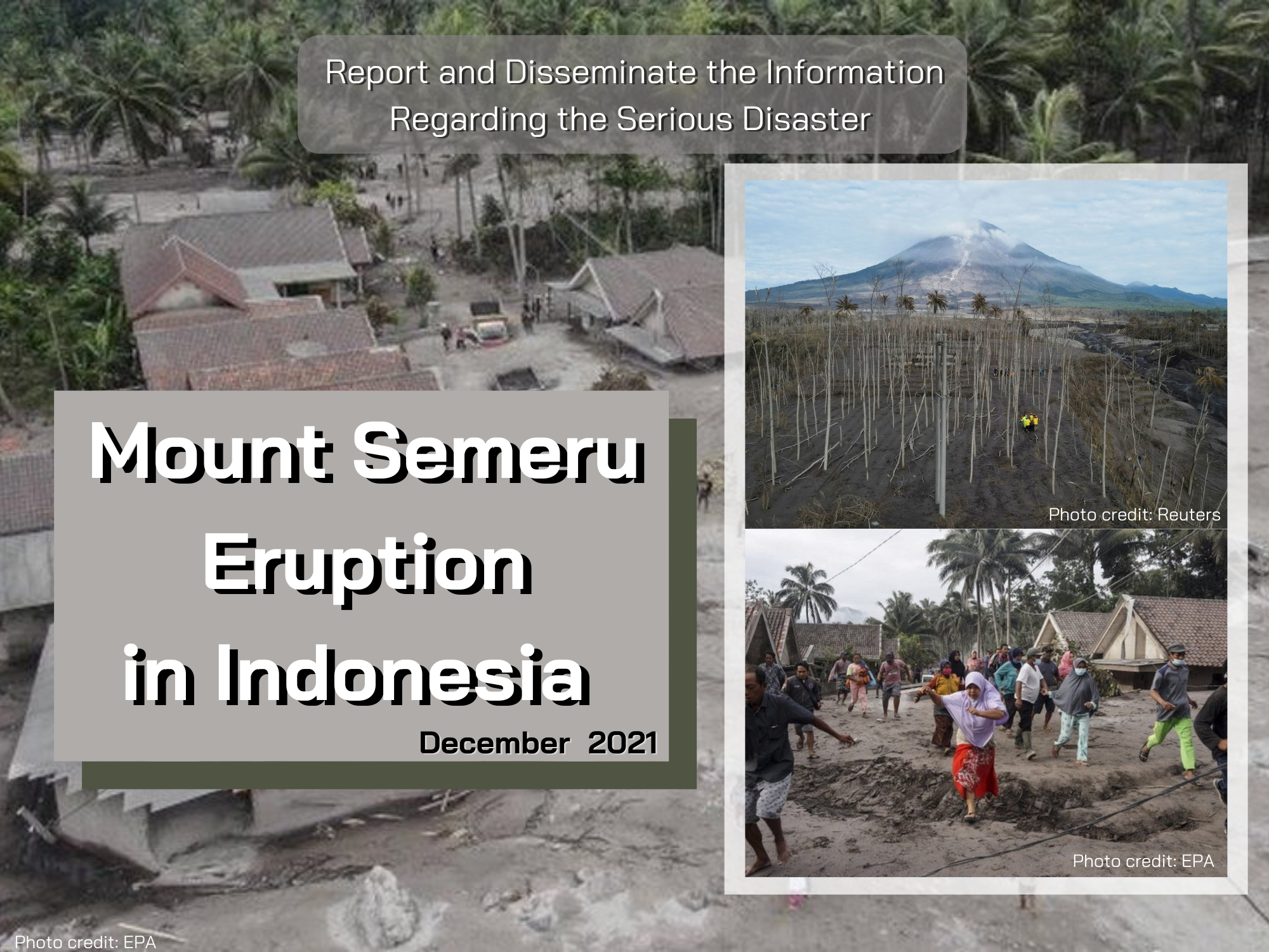
Mount Semeru Eruption
December 2021
Source: ASEAN Disaster Monitoring & Response System (DMRS); Pacific Disaster Center (PDC Global); Indonesia’s National Agency for Disaster Countermeasure (BNPB); Indonesia’s Centre of Volcanology and Geological Hazard Mitigation (PVMBG); Center for Agricultural Data and Information System, Ministry of Agriculture, Republic of Indonesia
Mount Semeru Eruption in East Java Province, Indonesia.
Mount Semeru in East Java province erupted on December 4th, 2021. The affected areas are located in 2 districts in East Java province namely, Lumajang and Malang. The areas that were damaged are located in 2 sub-districts in Lumajang, while 1 sub-district in Malang (Jabung sub-district) was only exposed to volcanic ash with no other damages. Moreover, quite severe damages had occurred in Pronojiwo sub-district (villages: Supiturang, Oro-Oro Ombo, Sumberurip) and Candipuro sub-district (villages: Sumberwuluh and Sumbermujur).
These 2 sub-districts are in Lumajang district which is one of the rice-producers in East Java province, including the top 10 rice production centers of East Java.
The damage to paddy fields in these 2 sub-districts, especially in Candipuro sub-district which is the main rice center of the Lumajang district, will certainly have great effect on the rice production. When the disaster occurred, the average age of paddy plants was around 1-2 months. Therefore, the damage to paddy fields will disrupt the availability of rice forthe next 2-3 months. To anticipate the disruption effect to food availability, the government through the Ministry of Agriculture and the regional Agriculture Office will manage the distribution of rice from other areas to meet the needs of the population in Lumajang district. The similar action will be done for another food commodities such as maize, soybean, etc. After the condition of the land is conducive, the government will help farmers to plant food commodities. The assistance that has been prepared includes seeds and machine tools such as tractors and hand sprayers.
Production or plants in terms of the area or number that were affected by the eruption are as follows:
a. Food crops: rice 375 hectares, maize 46 hectares, cassava 23 hectares.
b. Horticulture: vegetables and fruits 241 hectares.
c. Estate crops 166 hectares (sugarcane, coffee, cloves, and coconut).
d. Livestock: 174 cows and goats.
The government of Indonesia hasthe countermeasures or policies to encounter this situation by carrying out emergency evacuation of the victims in cooperation with the local government, Indonesia’s National Agency for Disaster Countermeasure (BNPB), army, police, and volunteers to clean up the mudslides and distribution of logistics and basic needs such as food, clothes, and medicine for refugees. Ministry of Agriculture (Indonesia) has also given donation of rice, corn, coffee seeds, cattle, goats, animal feed, concentrates, animal medicines, tractors, and hand sprayers for farmers' groups to speed up the agricultural sector’s recovery. However, until now there has been no assistance or help from other countries either through government or other social institutions.
Indonesia has entered the rainy season with high intensity of rainfall since October 2021. Therefore, floods usually caused damage to food crops. Floods occurred in several areas in Indonesia, such as West Nusa Tenggara, West Kalimantan, Riau, and Banten, which have the potential to reduce the production of food crops.
Download word file click here --> Mount Semeru erupted in Indonesia

The AFSIS Secretariat participated in the 10th International Conference on Agricultural Statistics (ICAS X), held from 8 to 10 July 2026 at the ICE Krakow Congress Centre in Krakow, Poland. Jointly organized by Statistics Poland, Eurostat, the United States Department of Agriculture (USDA), the World Bank Group, and the Food and Agriculture Organization of the United Nations (FAO).
.JPG)
On 24–25 June 2026, AFSIS Secretariat participated in the 46th Meeting of the ASEAN Food Security Reserve Board (AFSRB) via a virtual conference. The Meeting was jointly organized by the AFSRB Secretariat and the Department of Agriculture (DOA), Ministry of Agriculture, Livestock and Irrigation (MOALI) of the Republic of the Union of Myanmar, and was hosted in Nay Pyi Taw, Myanmar.

On 17–18 June 2026, the 24th AFSIS Focal Point Meeting was successfully convened via video conference, hosted by the Philippine Statistics Authority (PSA) in collaboration with the ASEAN Food Security Information System (AFSIS) Secretariat.
.jpg)
The ASEAN Food Security Information System (AFSIS) Secretariat, in collaboration with the Ministry of Agriculture, Forestry and Fisheries (MAFF) Japan, Japan Aerospace Exploration Agency (JAXA), Remote Sensing Technology Center of Japan (RESTEC), and Geo-Informatics and Space Technology Development Agency (GISTDA), conducted the 2nd Hands-on Training Courses for Agricultural Statisticians, the Final Workshop, and the 2nd Seminar for Executive Officials under the JAIF Project entitled “Improvement of Rice Paddy Area Statistics and Damage Assessment using Earth Observation Satellites for ASEAN” in Sriracha, Chonburi Province, and Bangkok, Thailand.

