.png)
On 14 November 2022, the Asia-Pacific Regional Space Agency Forum (APRSAF) Space Applications for Environment (SAFE) Initiative with the collaboration of Japan Aerospace Exploration Agency (JAXA), Japan, the Indian Space Research Organization (ISRO) of India, Geo-Informatics and Space Technology Development Agency (GISTDA) of Thailand, Vietnam National Space Center (VNSC), and AFSIS Secretariat organized the online Training Program on Satellite-Derived Rice Planted Area Data for AFSIS’s Rice Growing Outlook (RGO) for Agriculture Management in the ASEAN which is the second training following the previous program in July 2022.
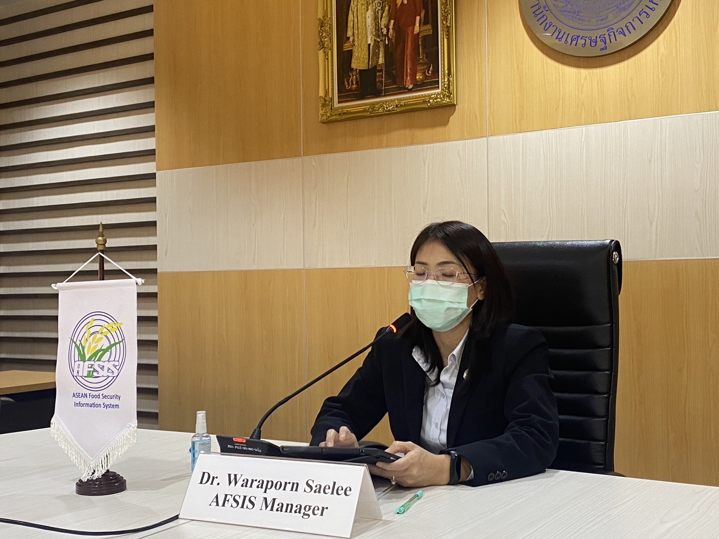
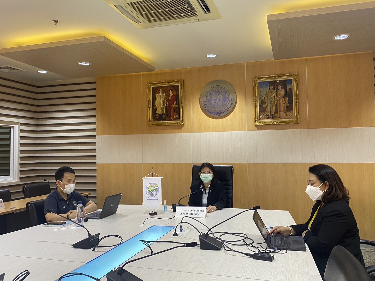
The representatives from AFSIS Secretariat attending the training were Dr. Waraporn Saelee, AFSIS Manager, Dr. Sumanya Ngandee, Deputy AFSIS Manage, Mr. Tanabodee Kheosipalard, Statistician, and Ms. Prodpran Lomthong, Project Coordinator.
There were 23 trainees from 9 ASEAN member countries namely Brunei Darussalam, Cambodia, Indonesia, Lao PDR, Malaysia, Myanmar, Philippines, Thailand, and Vietnam.
During the opening session, Dr. Waraporn Saelee delivered her opening remarks to welcome all participants, and expressed her appreciation to above-stated organizations for their contribution and cooperation to the training.
The training aimed to provide the trainees of the utilization of satellite derived agromet data which the content of the training was on the use of JAXA Rice Mapping Tool “INAHOR” on the Google Earth Engine (GEE). There were remarkable presentations from Mr. Shoji KIMURA, a RGO instructor, about the Improvement of Agricultural Statistics using INAHOR, and from Dr. Hashemvand Khiabani Pegah of RESTEC regarding the lecture on INAHOR program. The trainees learned step-by-step on how to prepare the required information and program, create the training data and estimate the rice crop area by GEE.
The training was successfully conducted as the trainees were effectively imparted with the knowledge of agromet data utilization which can be used as reference information for generating AFSIS’s RGO report and developing the agricultural information system in their countries.
.png)
.png)
.png)
.png)
.png)

The AFSIS Secretariat participated in the 10th International Conference on Agricultural Statistics (ICAS X), held from 8 to 10 July 2026 at the ICE Krakow Congress Centre in Krakow, Poland. Jointly organized by Statistics Poland, Eurostat, the United States Department of Agriculture (USDA), the World Bank Group, and the Food and Agriculture Organization of the United Nations (FAO).
.JPG)
On 24–25 June 2026, AFSIS Secretariat participated in the 46th Meeting of the ASEAN Food Security Reserve Board (AFSRB) via a virtual conference. The Meeting was jointly organized by the AFSRB Secretariat and the Department of Agriculture (DOA), Ministry of Agriculture, Livestock and Irrigation (MOALI) of the Republic of the Union of Myanmar, and was hosted in Nay Pyi Taw, Myanmar.

On 17–18 June 2026, the 24th AFSIS Focal Point Meeting was successfully convened via video conference, hosted by the Philippine Statistics Authority (PSA) in collaboration with the ASEAN Food Security Information System (AFSIS) Secretariat.
.jpg)
The ASEAN Food Security Information System (AFSIS) Secretariat, in collaboration with the Ministry of Agriculture, Forestry and Fisheries (MAFF) Japan, Japan Aerospace Exploration Agency (JAXA), Remote Sensing Technology Center of Japan (RESTEC), and Geo-Informatics and Space Technology Development Agency (GISTDA), conducted the 2nd Hands-on Training Courses for Agricultural Statisticians, the Final Workshop, and the 2nd Seminar for Executive Officials under the JAIF Project entitled “Improvement of Rice Paddy Area Statistics and Damage Assessment using Earth Observation Satellites for ASEAN” in Sriracha, Chonburi Province, and Bangkok, Thailand.

