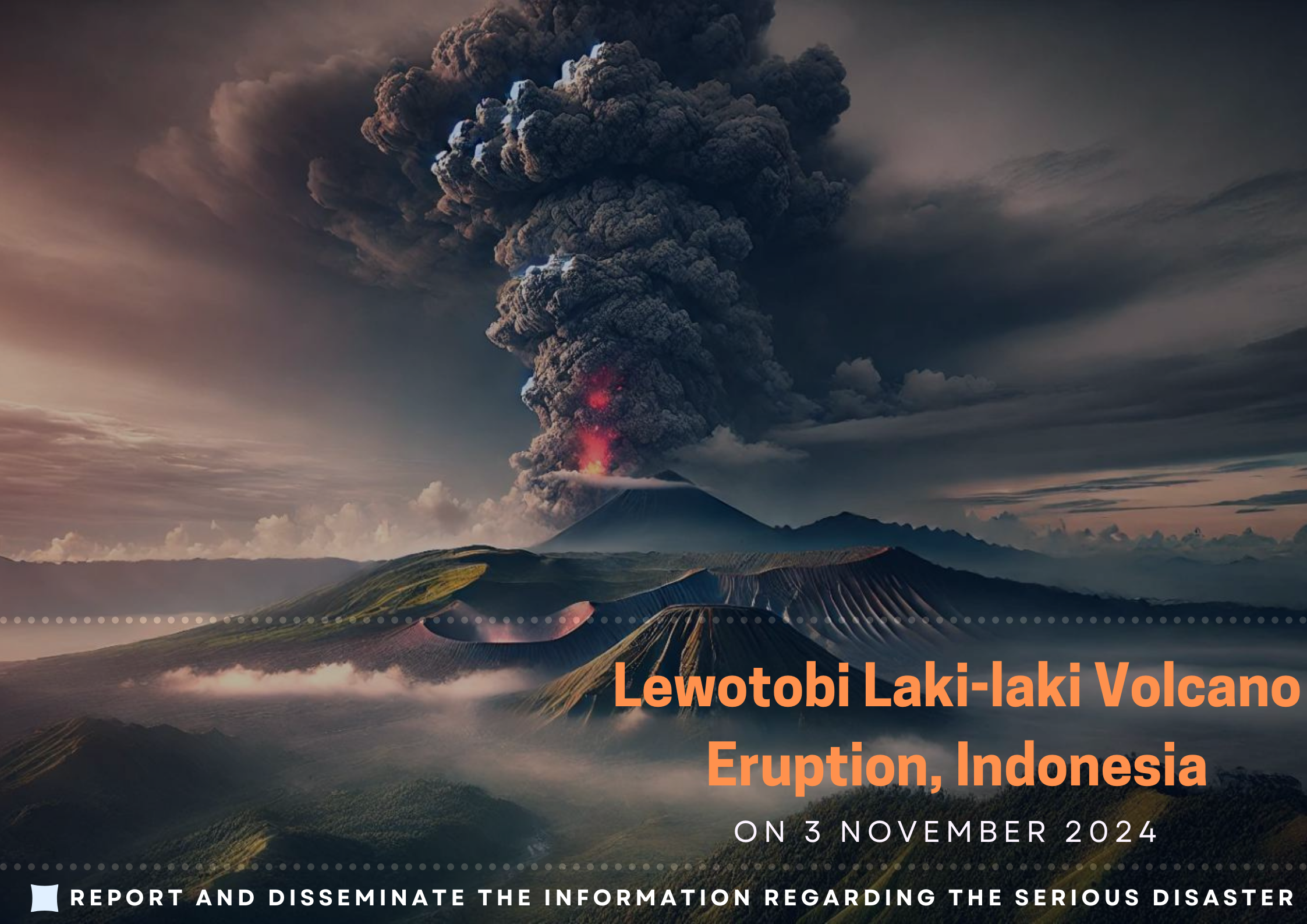

Lewotobi Laki-laki Volcano Eruption, Indonesia
On 3 November 2024
Mount Lewotobi Laki-laki Erupts on November 3, Triggering Emergency Alert
On Sunday, November 3, 2024, at 22:57 WITA, Mount Lewotobi Laki-Laki, one of Indonesia’s 120 active volcanoes, erupted on the island of Flores in East Nusa Tenggara province, The eruption, lasting 24 minutes (1,450 seconds), was recorded with a massive amplitude of 47.3 mm. According to Indonesia's National Disaster Management Agency, a strong eruption sent ash up to 2,000 meters (6,500 feet), affecting over 10,000 people. Smaller eruptions followed on November 5-6. In response, the Center for Volcanology and Geological Hazard Mitigation (PVMBG) raised the volcano’s alert status to “Awas” (Level IV), indicating a high danger level.
Indonesia
Impact on Affected Areas
The eruption of Mount Lewotobi Laki-Laki, which began on November 3, 2024, and continued for several days, affected the sub-districts of Wulanggitang and Ilebura, with a total population of 10,295 people across 10 villages. A 7-kilometer (4.3-mile) danger zone was established, leading to the evacuation of thousands to nearby areas. The eruption caused significant damage to infrastructure, homes, and agricultural areas in the affected regions.
Agricultural Devastation
The eruption caused significant damage to agricultural lands in the sub-districts of Wulanggitang and Ilebura, as follows:
Agricultural lands
Affected Crops:
Impact on the rice product
The eruption is projected to decrease rice production in East Nusa Tenggara Province by 4,154.35 tons, or approximately 0.59% of the expected rice output for 2024, which is projected to reach 706,906.05 tons. This reduction could have long-term effects on food security and local economies, particularly for communities dependent on agriculture for their livelihoods.
Government Response and Countermeasures
o Evacuation Centers: Three evacuation centers have been established in Konga Village, Lewolaga Village, andTietehena Village to provide temporary shelter for displaced residents. Thousands of people from the affected sub-districts of Wulanggitang and Ilebura have been relocated to these shelters.
o Relief Supplies: Mobile kitchens have been set up, and mineral water, folding mattresses, blankets, and first aid kits are being distributed to those in need. Emergency response teams have been deployed to ensure the safety and well-being of the residents.
o Residents and visitors around Mount Lewotobi Laki-Laki are advised not to engage in any activities within a 7 km radius of the eruption center to avoid exposure to volcanic hazards.
o Authorities have warned of the potential for lahar floods (volcanic mudflows) in rivers originating from the peak, especially during heavy rainfall. Areas at risk include Dulipali, Padang Pasir, and Nobo.
o The Center for Volcanology and Geological Hazard Mitigation (PVMBG) raised the alert level of Mount Lewotobi Laki-Laki to “Awas” (Level IV), the highest danger level, to warn local authorities and residents of the ongoing volcanic threat.
o Continuous monitoring of volcanic activity is being conducted to assess any further risks, and residents are advised to remain vigilant.
Source:
(1) ASEAN Coordinating Centre for Humanitarian Assistance, National Disaster Risk Reduction and Management Council
(2) Center for Volcanology and Geological Hazard Mitigation (PVMBG) and
(3) Centre for Agricultural Data and Information Systems under the Ministry of Agriculture, The Republic of Indonesia
References:
1. Mount Lewotobi Laki-Laki Spews Ash
2. Indonesia's Mount Lewotobi Laki-laki volcano erupts, killing 10 people | Reuters
Download PDF file click here: Lewotobi Laki-laki Volcano Eruption, Indonesia

The AFSIS Secretariat participated in the 10th International Conference on Agricultural Statistics (ICAS X), held from 8 to 10 July 2026 at the ICE Krakow Congress Centre in Krakow, Poland. Jointly organized by Statistics Poland, Eurostat, the United States Department of Agriculture (USDA), the World Bank Group, and the Food and Agriculture Organization of the United Nations (FAO).
.JPG)
On 24–25 June 2026, AFSIS Secretariat participated in the 46th Meeting of the ASEAN Food Security Reserve Board (AFSRB) via a virtual conference. The Meeting was jointly organized by the AFSRB Secretariat and the Department of Agriculture (DOA), Ministry of Agriculture, Livestock and Irrigation (MOALI) of the Republic of the Union of Myanmar, and was hosted in Nay Pyi Taw, Myanmar.

On 17–18 June 2026, the 24th AFSIS Focal Point Meeting was successfully convened via video conference, hosted by the Philippine Statistics Authority (PSA) in collaboration with the ASEAN Food Security Information System (AFSIS) Secretariat.
.jpg)
The ASEAN Food Security Information System (AFSIS) Secretariat, in collaboration with the Ministry of Agriculture, Forestry and Fisheries (MAFF) Japan, Japan Aerospace Exploration Agency (JAXA), Remote Sensing Technology Center of Japan (RESTEC), and Geo-Informatics and Space Technology Development Agency (GISTDA), conducted the 2nd Hands-on Training Courses for Agricultural Statisticians, the Final Workshop, and the 2nd Seminar for Executive Officials under the JAIF Project entitled “Improvement of Rice Paddy Area Statistics and Damage Assessment using Earth Observation Satellites for ASEAN” in Sriracha, Chonburi Province, and Bangkok, Thailand.

